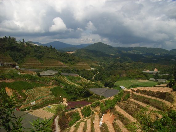
Cameron Highlands Day Hikes

The Cameron Highlands form the largest hill station in Malaysia, making Tanah Rata (the largest town) a good base for hiking in the surrounding hills. There are several signposted trails to follow, but remember: it’s a jungle out there, so follow the safety tips in the ‘Stay Safe’ section here and be careful (particularly on Trail 9).
Garmin Compatible Map
Click here to download a .img file containing a map of the area around Tanah Rata in the Cameron Highlands. You can use this file on some Garmin handheld GPS devices, and on your desktop computer using QMapShack. There is some information about using the file on a Garmin GPS device here. The linked page also has some information on how to create your own Garmin maps, and a link to a page of other pre-made maps. The QMapShack documentation explains how to use the file with QMapShack.
