Trail 9

Information
Distance: 5.5km, ↗: 500m, ↘: 500m
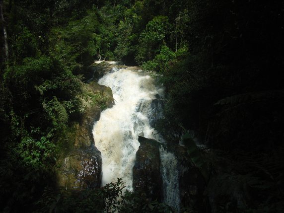
This walk starts at a junction about 1km to the south-east of Tanah Rata Park (see the .pdf map). It follows Trail 9 for the first 550m or so, before turning left onto Trail 9a which heads south eventually coming to a bridge which you should cross. Then turn north and continue past the hydro power station to join Trail 9b which passes by Robinson Falls on the way back to the starting point.
It is many years since I did this walk, so check locally that it’s still possible, and pay attention to the warnings in the ‘Stay Safe’ section here.
GPX file
Click here to download a gpx file of the route.
Map
Click here to view, and print or download a map of the route.
