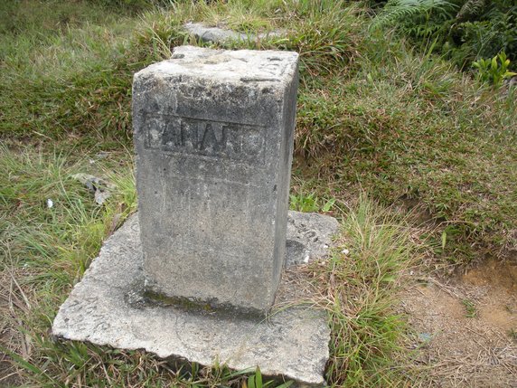
Gunung Jasar via Trail 10

Information
Distance: 7.6km, ↗: 380m, ↘: 380m
According to the ‘Trekking’ section of this web page, this walk is no longer possible owing to construction works.
I have removed the .gpx file and .pdf map, so the links below won’t work.
GPX file
Click here to download a gpx file of the route.
Map
Click here to view, and print or download a map of the route.
