Gunung Berembun via Trails 9, 8, 3 and 5

Information
Distance: 6.8km, ↗: 480m, ↘: 480m
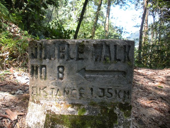
This route starts on the road to the south of Tanah Rata Park which it follows until the turn off to Trail 9. After about 500m turn left on Trail 8. When I did this walk, there was a sign near the junction (see the photo above). Then climb steadily to the junction with Trail 7. Continue to the summit of Gunung Berembun on what is now Trail 3. Descend via Trail 3 and Trail 5 returning to the starting point through the MARDI Agricultural Research Station.
This is one of the more strenuous hikes around Tanah Rata so make sure you are properly prepared for it and pay attention to the warnings in the ‘Stay Safe’ section here.
GPX file
Click here to download a gpx file of the route.
Map
Click here to view, and print or download a map of the route.
