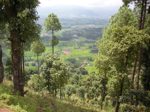
Kathmandu Valley Day Hikes

There are many possible walks around the Kathmandu Valley and, looking at the internet, plenty of companies providing paid for treks. It’s perfectly possible to do it by yourself if you want to, and that is what I did.
Garmin Compatible Map
Click here to download a .img file containing a map of the area between Nagarkot and Bhaktapur in the Kathmandu Valley. You can use this file on some Garmin handheld GPS devices, and on your desktop computer using QMapShack. There is some information about using the file on a Garmin GPS device here. The linked page also has some information on how to create your own Garmin maps, and a link to a page of other pre-made maps. The QMapShack documentation explains how to use the file with QMapShack.
