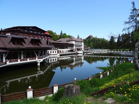
Day Hike to Poiana Brașov

Information
Distance: 14.9km, ↗: 730m, ↘: 730m
This walk starts and finishes at the corner of Strada Tiberiu Brediceanu and Strada Castelelui near the sports stadium. It climbs to south of the summit of Tâmpa Mountain, then follows the ridge to Poiana Brașov. From there a track leads back down to Șcheii Brașovului, and on to the finishing point at the sports stadium.
GPX file
Click here to download a gpx file of the route I took. There must have been poor satellite reception near the start of the walk, as the GPS track wanders about a bit. Keep heading uphill to the ridge and you should be OK.
Map
Click here to view, and print or download a map of the route.
